The Profile Trail to Calloway Peak at Grandfather Mountain State Park - Linville, NC

“There you stand in the face of all Heaven come to earth, as if to say, ‘Come, nature, bring on the best you have!’” - John Muir, founder of the Sierra Club, describing his visit to Grandfather Mountain in 1898.
“You’ve got to know when to hold’em, Know when to fold’em, Know when to walk away, Know when to run.” - Kenny Rogers, The Gambler.
“With great risk comes great reward” - Thomas Jefferson
The Story -
On Saturday morning, Ginger and I traveled to Linville, NC to hike the Profile Trail to Calloway Peak at the Grandfather Mountain State Park. It was a very challenging yet rewarding eight-mile out and back hike in the heart of the Blue Ridge Mountains that John Muir once described as “the finest in America of its kind.” (Note: you can take additional side routes that add to the mileage of your hike; Ginger and I hiked roughly nine miles.)


(Grand)Father Knows Best -
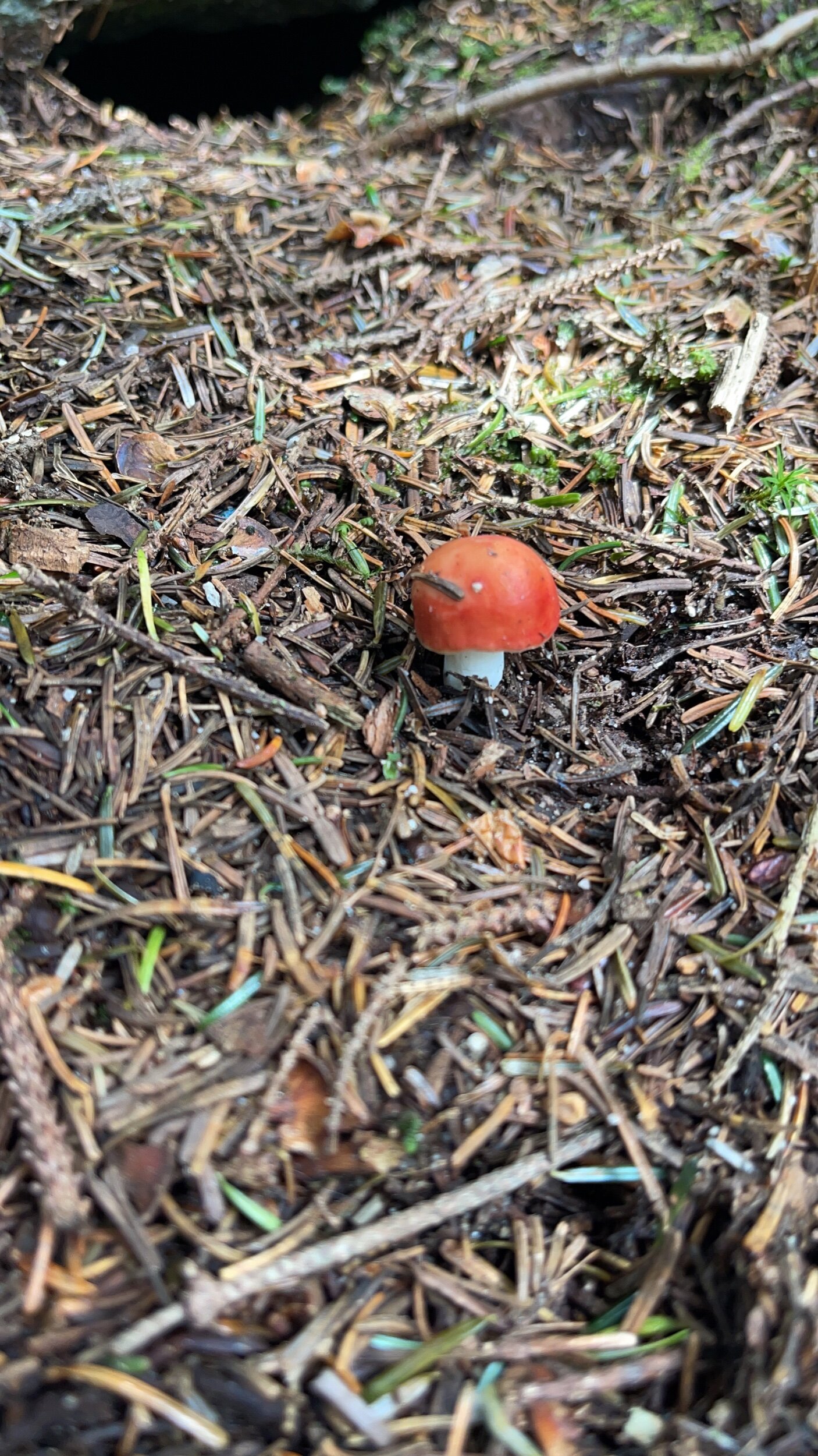
Grandfather Mountain has a rich history and is nationally known for its beauty, its many diverse ecological zones (due to its steep ascent) and its numerous peaks with scenic overlooks. Geologists claim that Grandfather is one of the oldest mountains on Earth, estimated to be over 750 million years old, and likely one of the first rock formations to rise out of the prehistoric Ocean 65 million years ago.
The aptly named Profile Trail gives you an excellent view of one of the Grandfather Mountain features for which the mountain and the trail are named. About halfway up, just after the camping area and before the trail really starts to get difficult, there is an opening in the trees to view what appears to be the profile or facial features of an old man. Hence the names “Grandfather” Mountain and “Profile” Trail. Note that It can be easy to miss the profile view on the way up, especially if you are hiking on a crowded day, so be on the lookout for it on your right after passing the overnight campground and the food storage tree pulley. If you do miss it, don’t fret, you will have another opportunity on the way down when it is easier to see.


Chutes and Ladders -
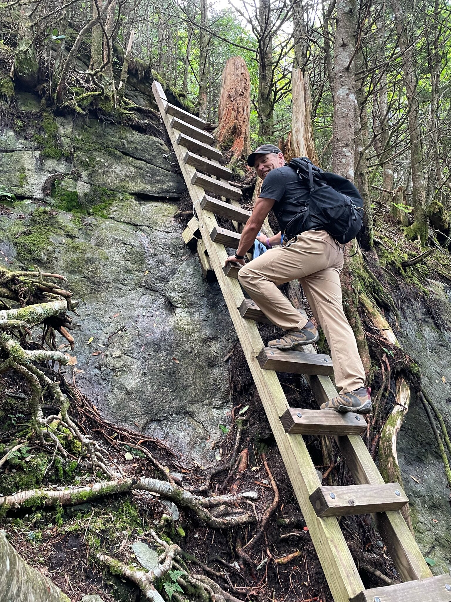
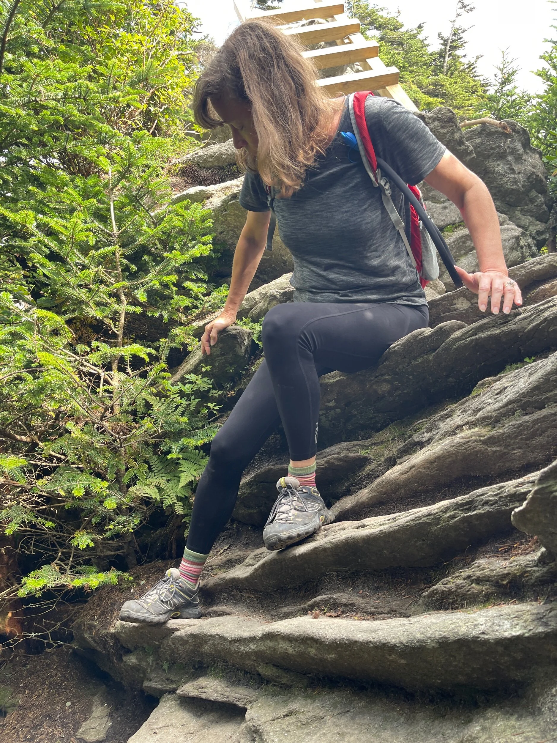
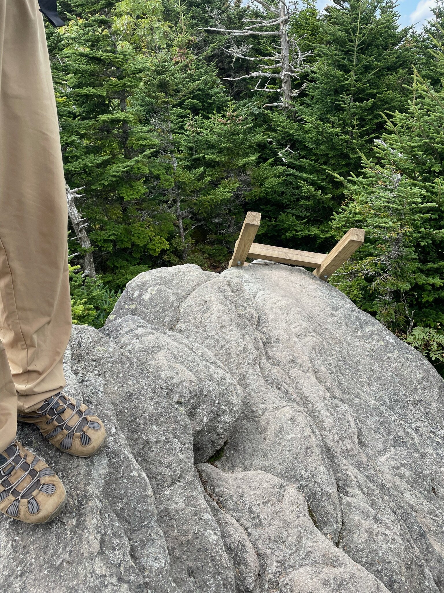
The Profile Trail is not for everyone, and especially not for anyone that is afraid of heights, has anxiety climbing ladders, is nervous about rock scrambling or is generally in bad physical shape. A warning sign posted at the trailhead alerts hikers that cables and ladders are necessary to complete the hike. This is perhaps one of the few moments in hiking history when the Kenny Rogers’ classic song The Gambler is relevant - Know when to hold’em, Know when to fold’em, Know when to walk away, Know when to run. If the idea of cables, ladders, steep elevation changes and rock scrambling intimidates you, take Kenny’s advice, and I suggest you drive to the privately owned section on the other side of Grandfather Mountain. There you do have to pay an entry fee, yet you can take an elevator up to the top of the mountain and enjoy the majestic views of the Blue Ridge Mountain Range from the Mile High Swinging Bridge, all without breaking a sweat or stepping foot on a ladder or rock.


Your Mission Should You Choose To Accept It -
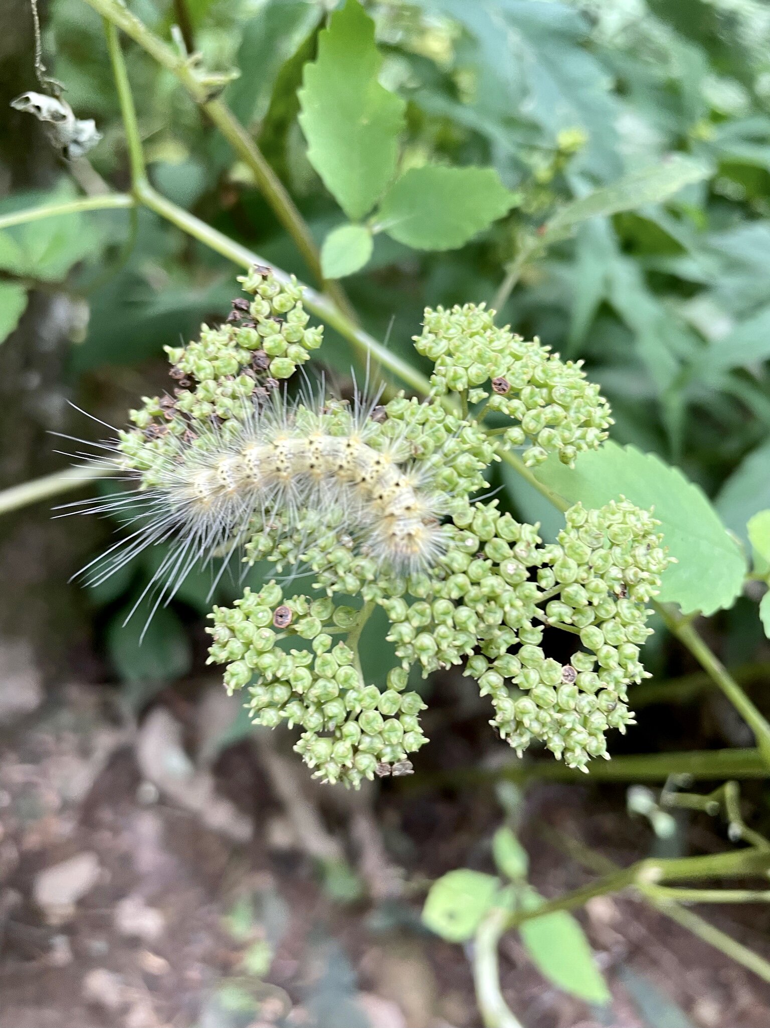
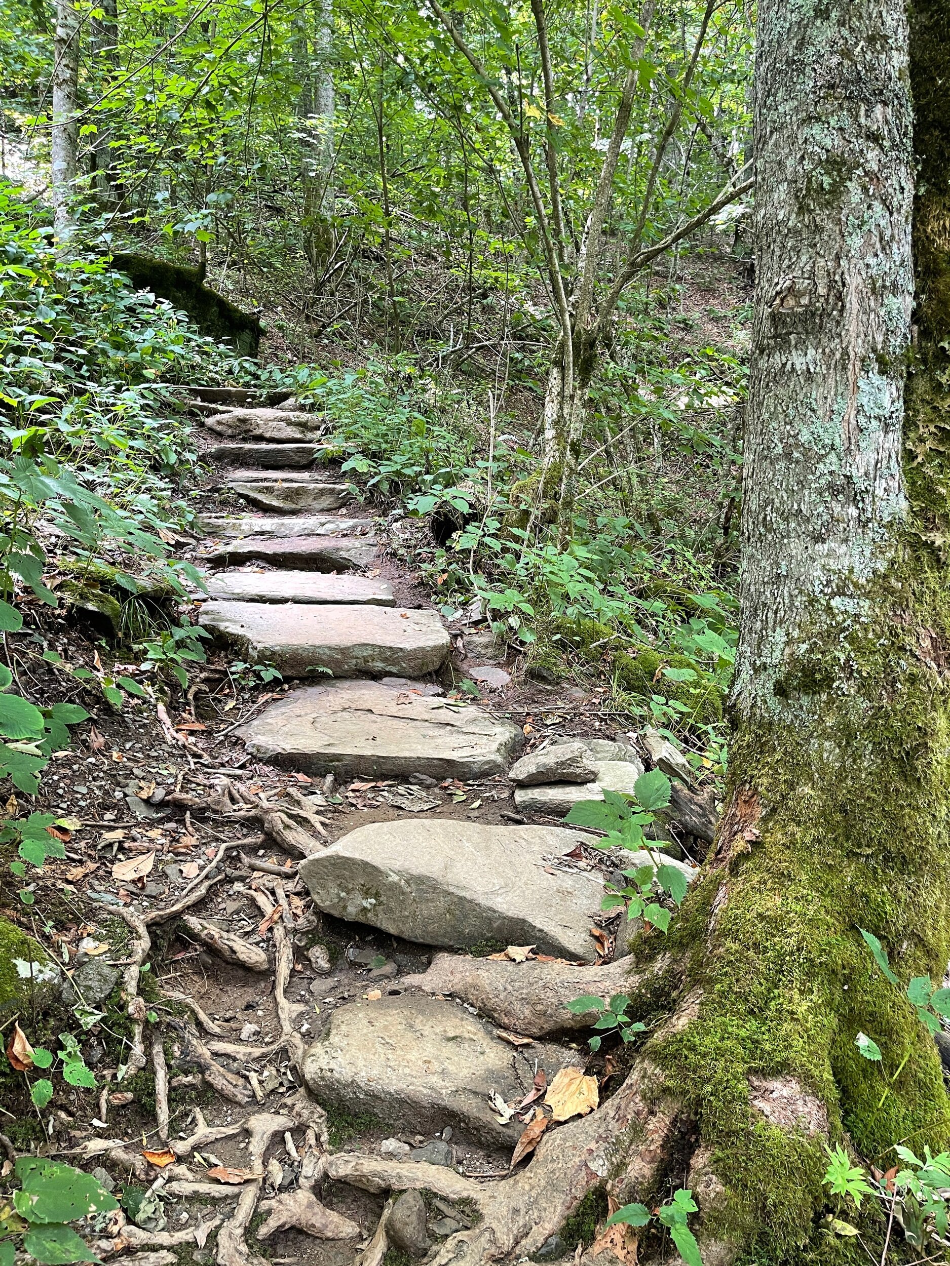
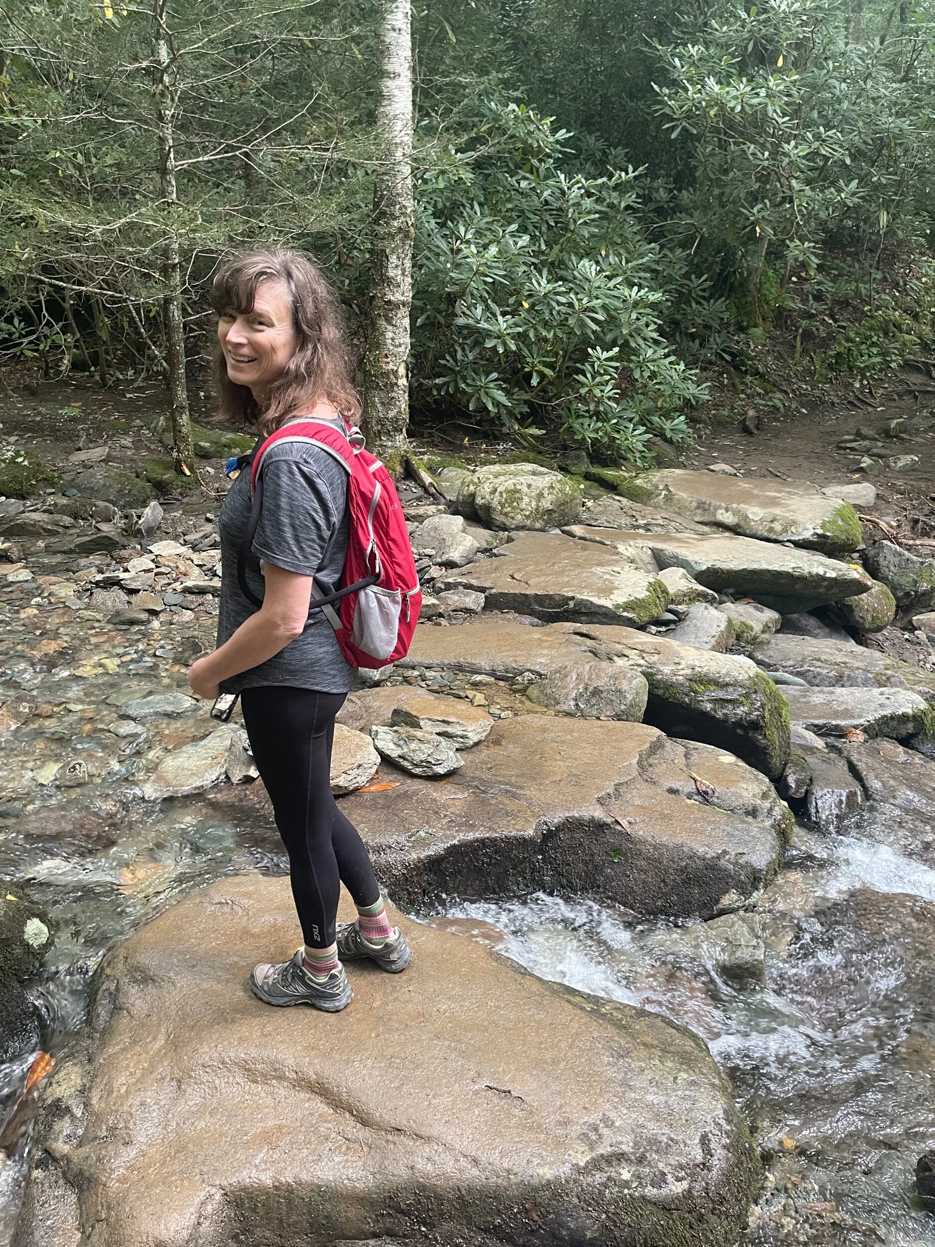
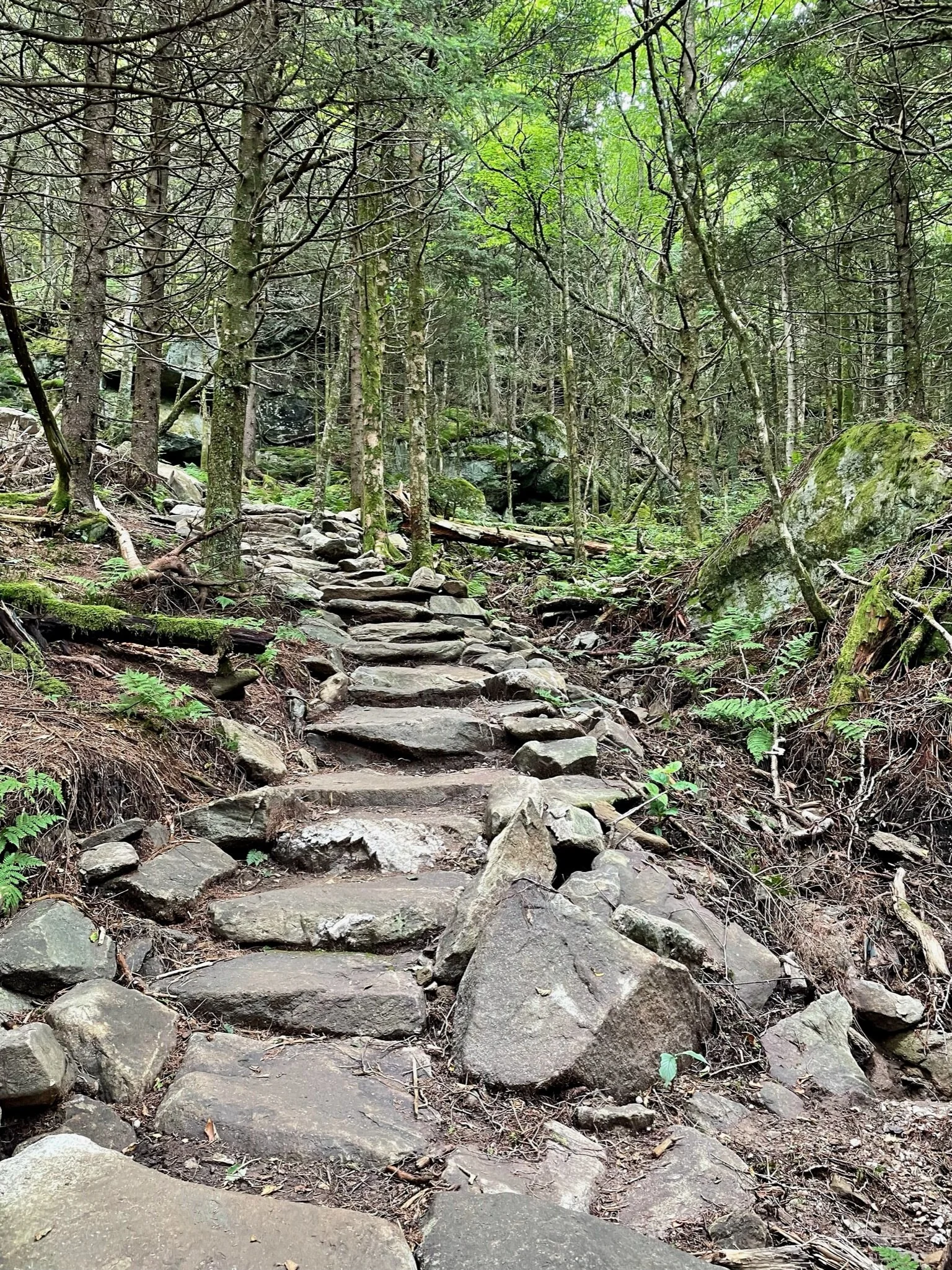
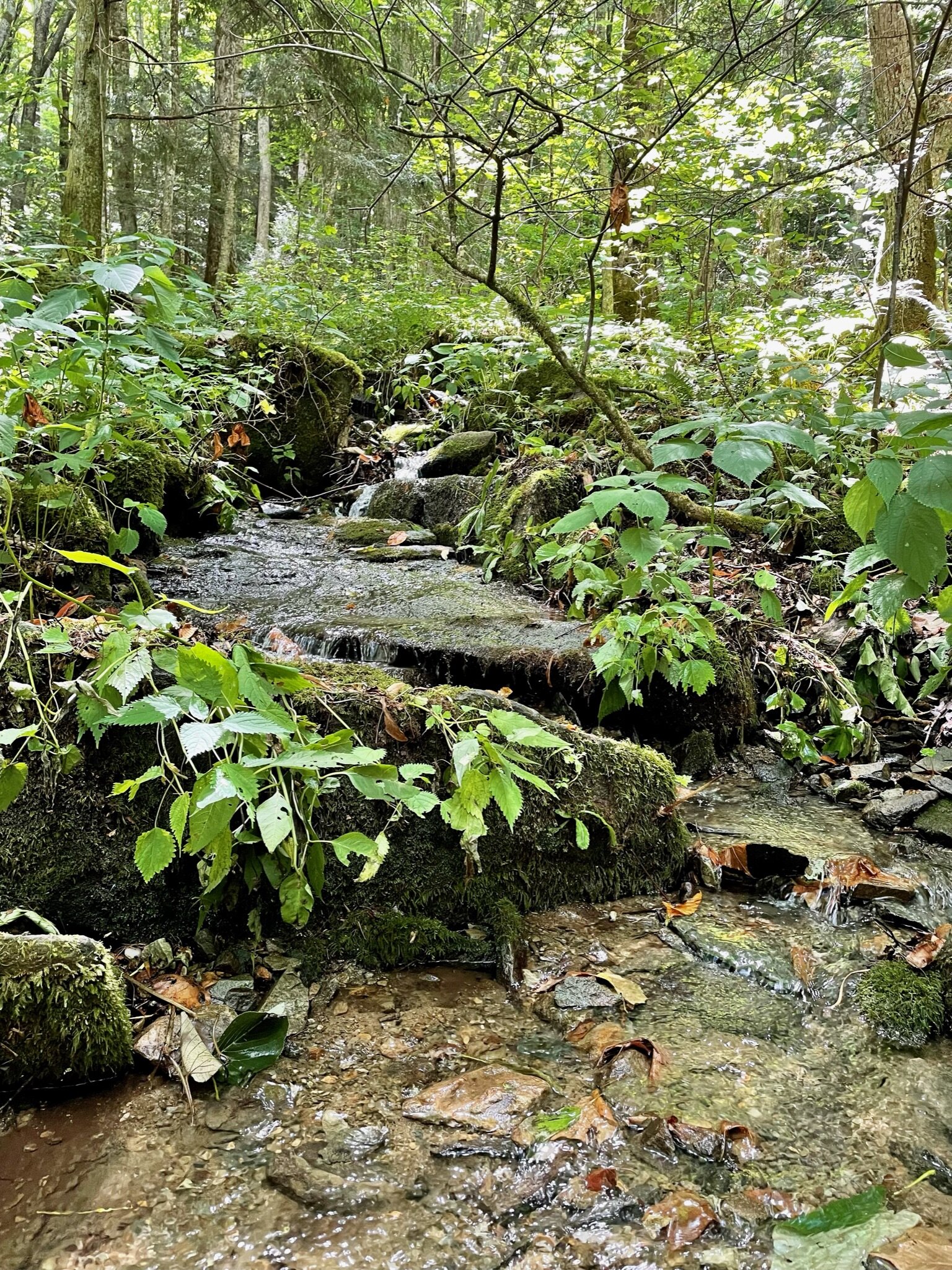
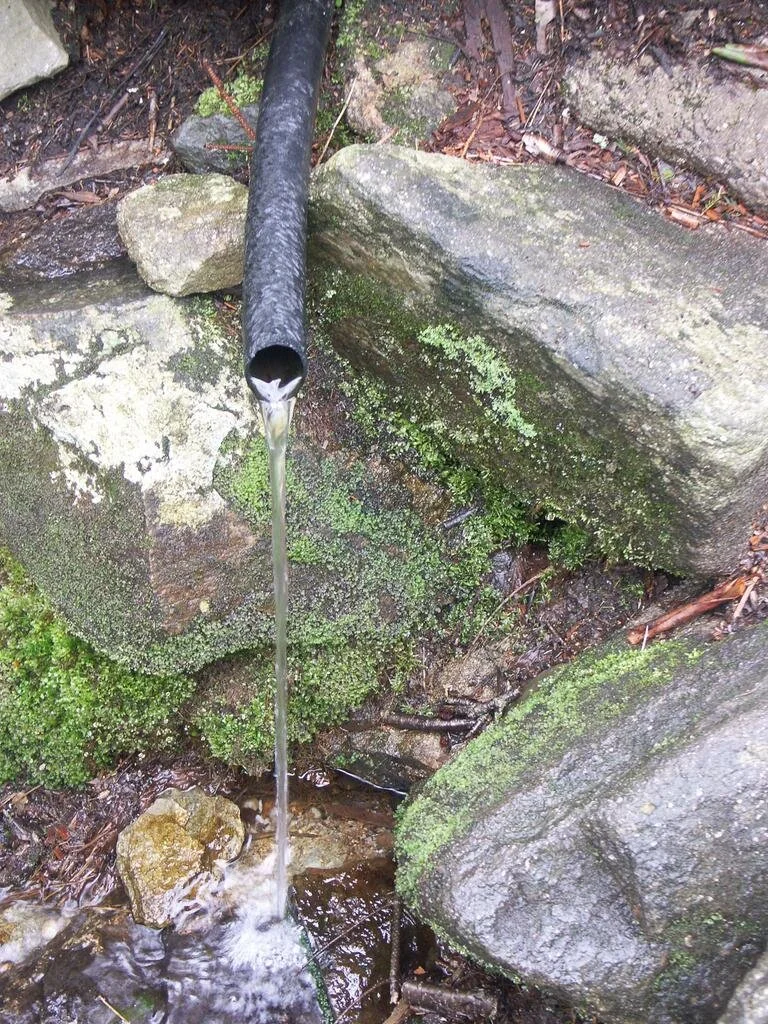
If the trailhead warning sign doesn't deter you, prepare to be both mentally and physically challenged, yet also greatly rewarded. The Profile Trail is probably the best way to "summit" Grandfather Mountain and I believe it's one of the finest trails in the state. The trail first winds through a lush hardwood forest, with a few stream crossings, including one over a very sturdy bridge and several scenic cascades. It climbs moderately at first and then more steeply higher up, with many switchbacks. Sections created by master trailbuilders impressively only using hand tools are laid from massive, flat stones arranged in stair-step fashion. There are lots of big trees, giant rock outcroppings, and cold fresh water flowing from the Shanty Spring. Beyond Shanty Spring, The Profile Trail gets really difficult, shooting straight up the mountain, getting very steep and rocky, transitioning into a beautiful spruce-fir forest closer to the summit. The hike ends at the top of Calloway Peak, which at 5964 ft, is the highest mountain in the Blue Ridge range.


Extra Credit Bonus Round -
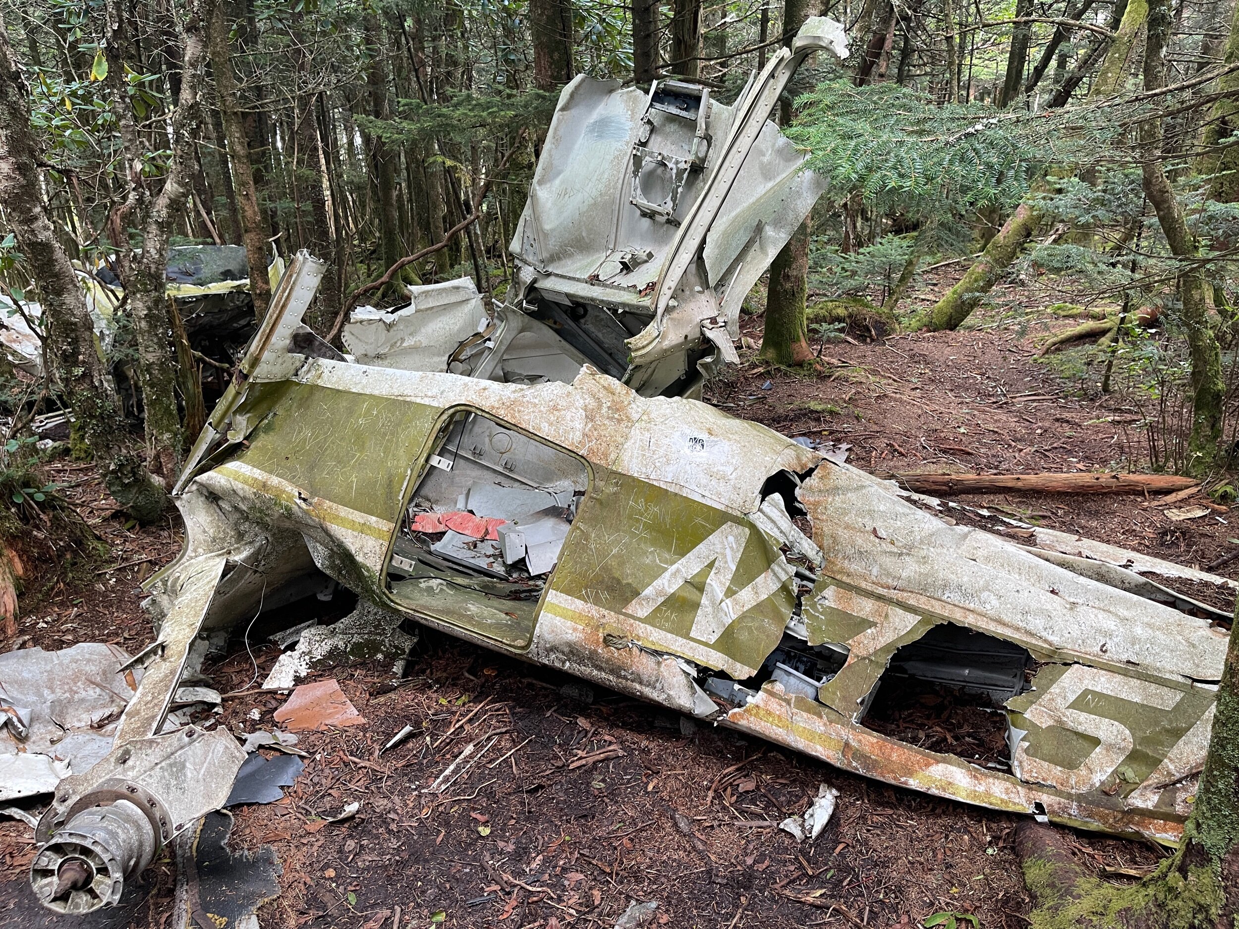
After catching our breath and enjoying the views on Calloway Peak for a few moments, Ginger and I opted to extend the hike down the other side of Calloway Peak to the Daniel Boone Scout Trail to explore something truly unique to both of us. On a rainy May afternoon more than 40 years ago, a plane en route to Florida from Pennsylvania lost its way in rain clouds looming over the High Country, and was reduced to a mangled heap of metal near the top of Grandfather Mountain. The crash proved fatal for the plane’s lone pilot and the mangled heap of metal that was once a Cessna 182Q can still be found just off the beaten path - near the end (or the beginning in our case) of the Daniel Boone Scout Trail at the foot of Calloway Peak. With no easy way or good reason to move the wreckage, the plane has sat for decades, scattered ominously on the forest floor. Admittedly, it was a little eerie and uncomfortable standing over the wreckage so we took a few pictures and left quickly.
Ginger and I returned to Calloway Peak, paused to admire the view with fewer clouds and then started our return hike. On our way down, we took another worthwhile detour to Watauga View, just a few hundred yards on the other side of Calloway Peak and a lot less crowded with amazing views of the Roan Mountain Highlands.


The “Renaissance” Trail -
I consider The Profile Trail to Calloway Peak at Grandfather Mountain State Park a “renaissance” trail. By that I mean it is very well-rounded and excels at almost everything. And while it doesn’t have the grandest waterfall or the most scenic view, the combination of all it does have makes it truly remarkable and definitely one to add to your bucket hike list.