
Massie Gap to Mount Rogers Summit at the Grayson Highlands State Park - Mouth of Wilson, VA

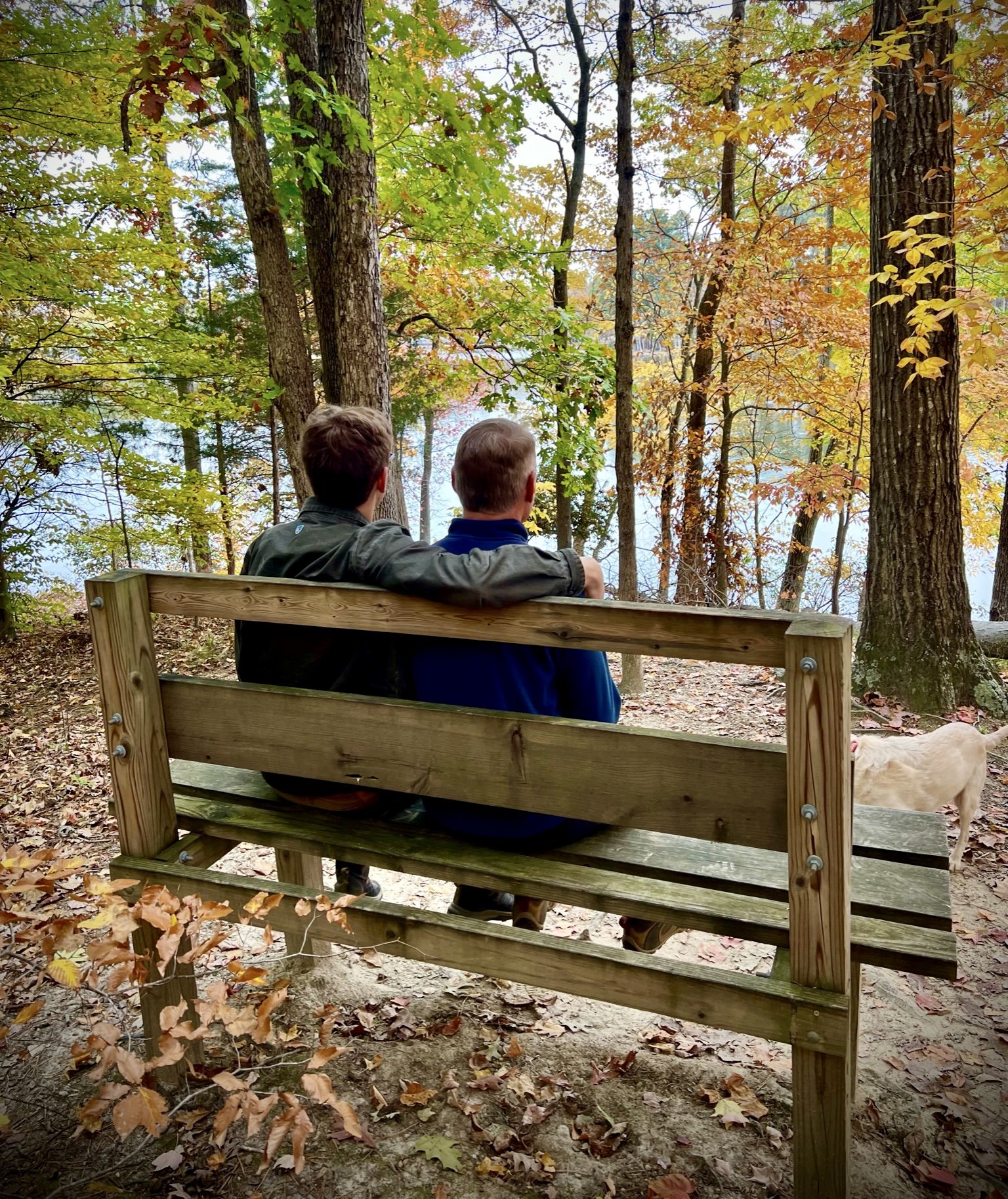
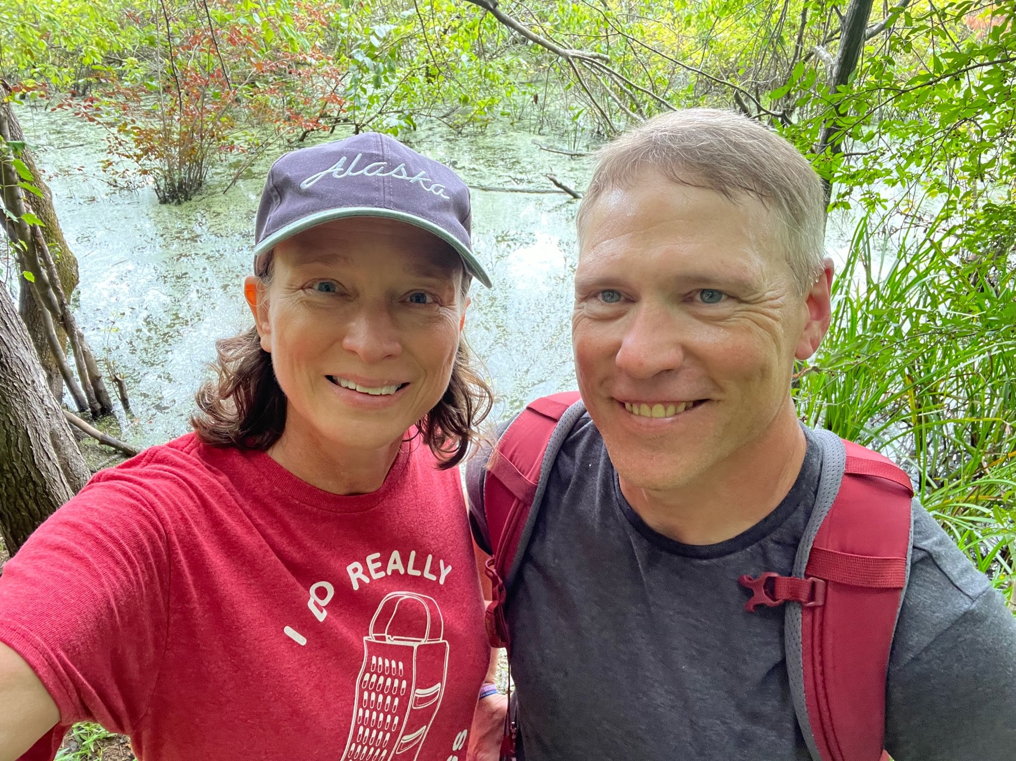
“Sometimes you will never know the value of a moment until it becomes a memory.” - Dr. Seuss
“Develop enough courage so that you can stand up for yourself, and then stand up for somebody else.” - Maya Angelou
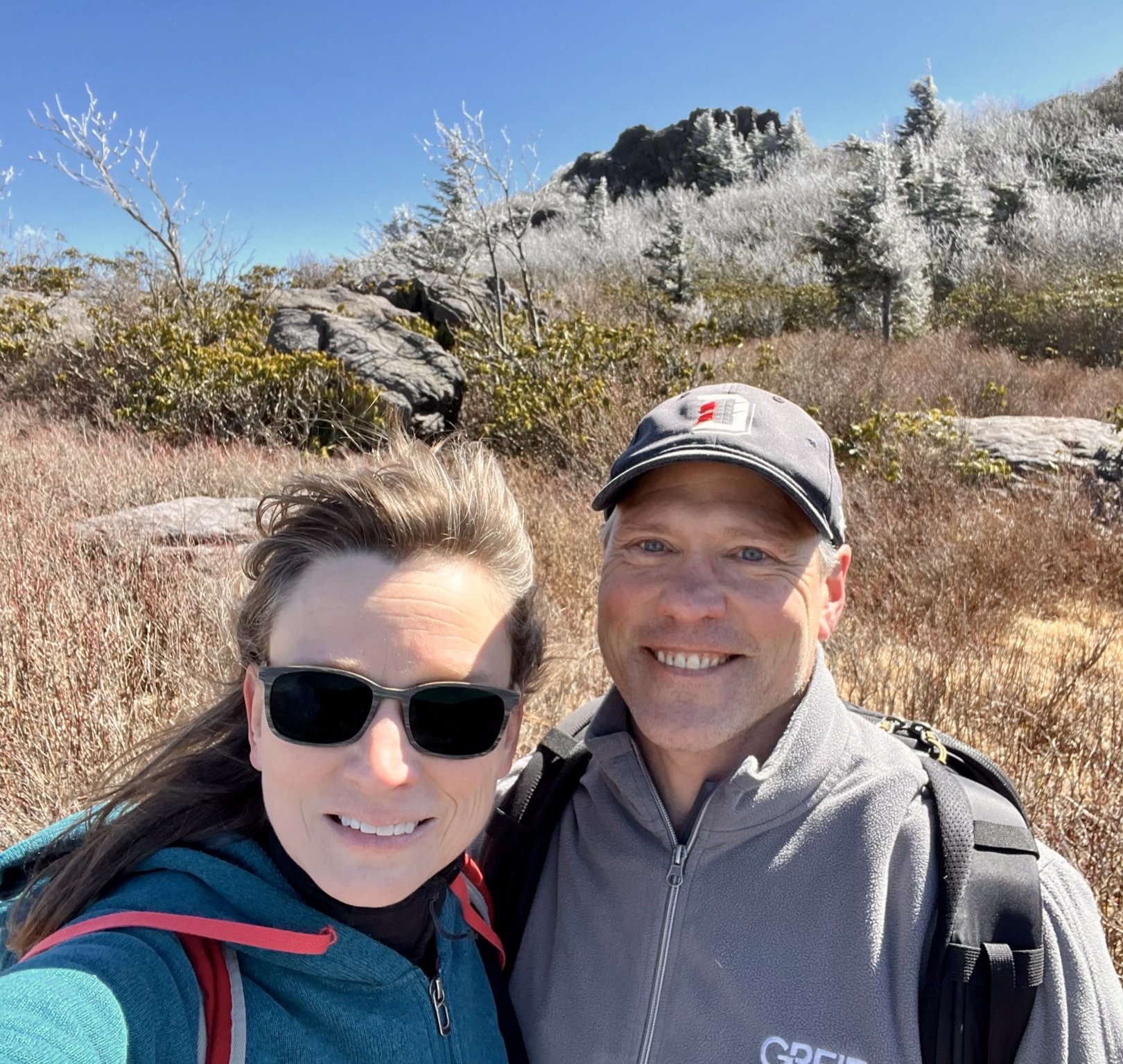
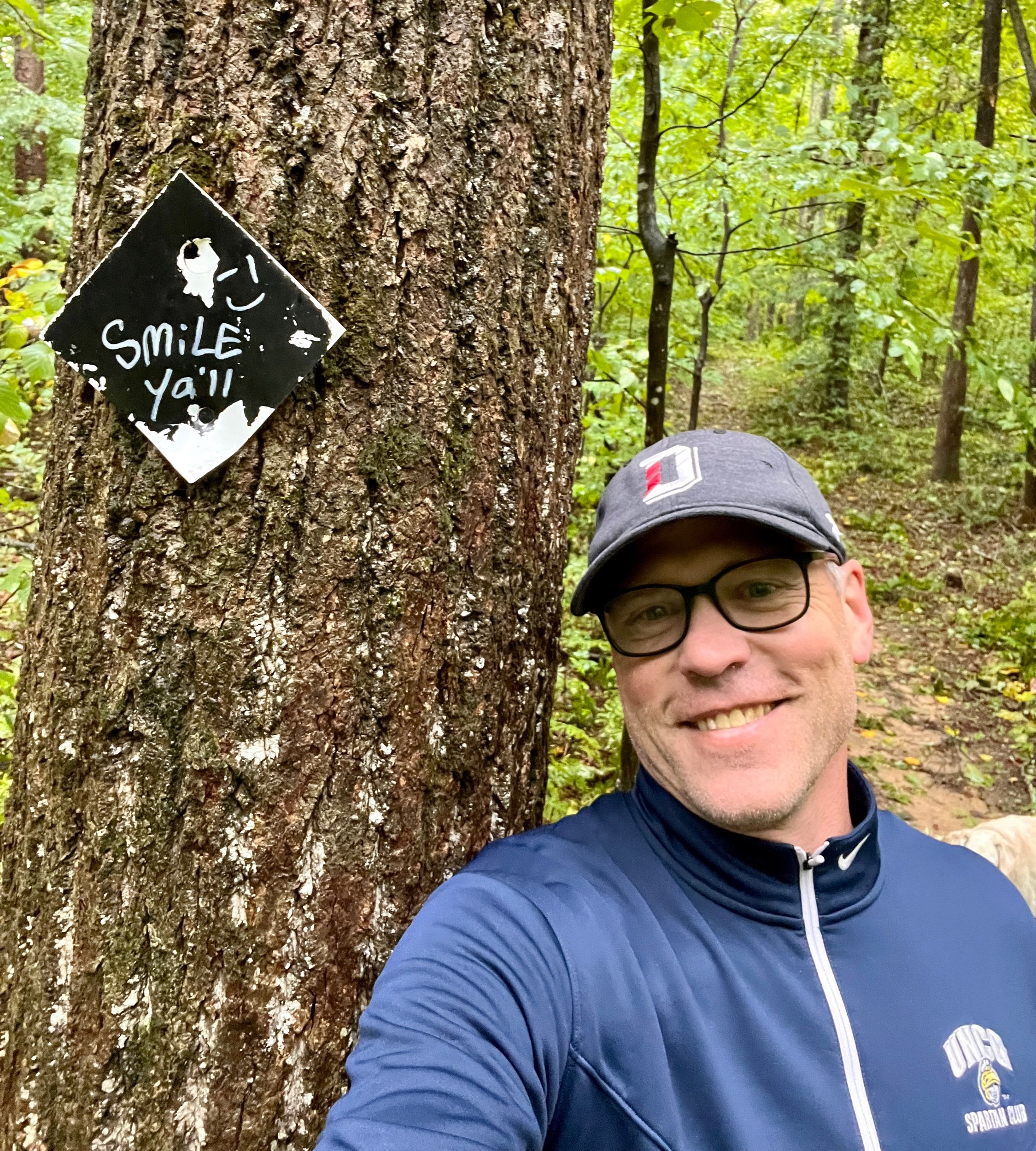
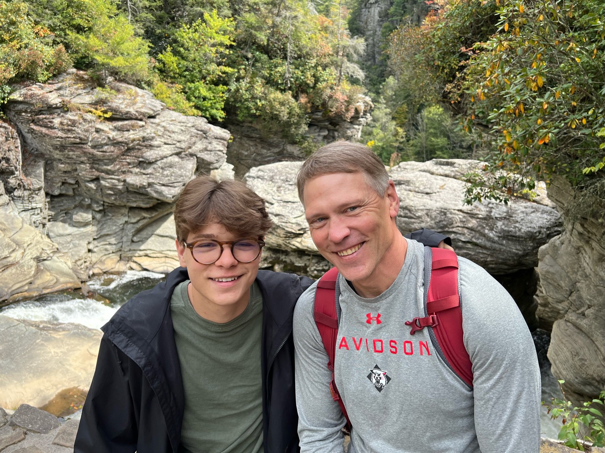
“Someone lied when they said it wasn’t going to be cold!” - Ginger Shields


The Story -
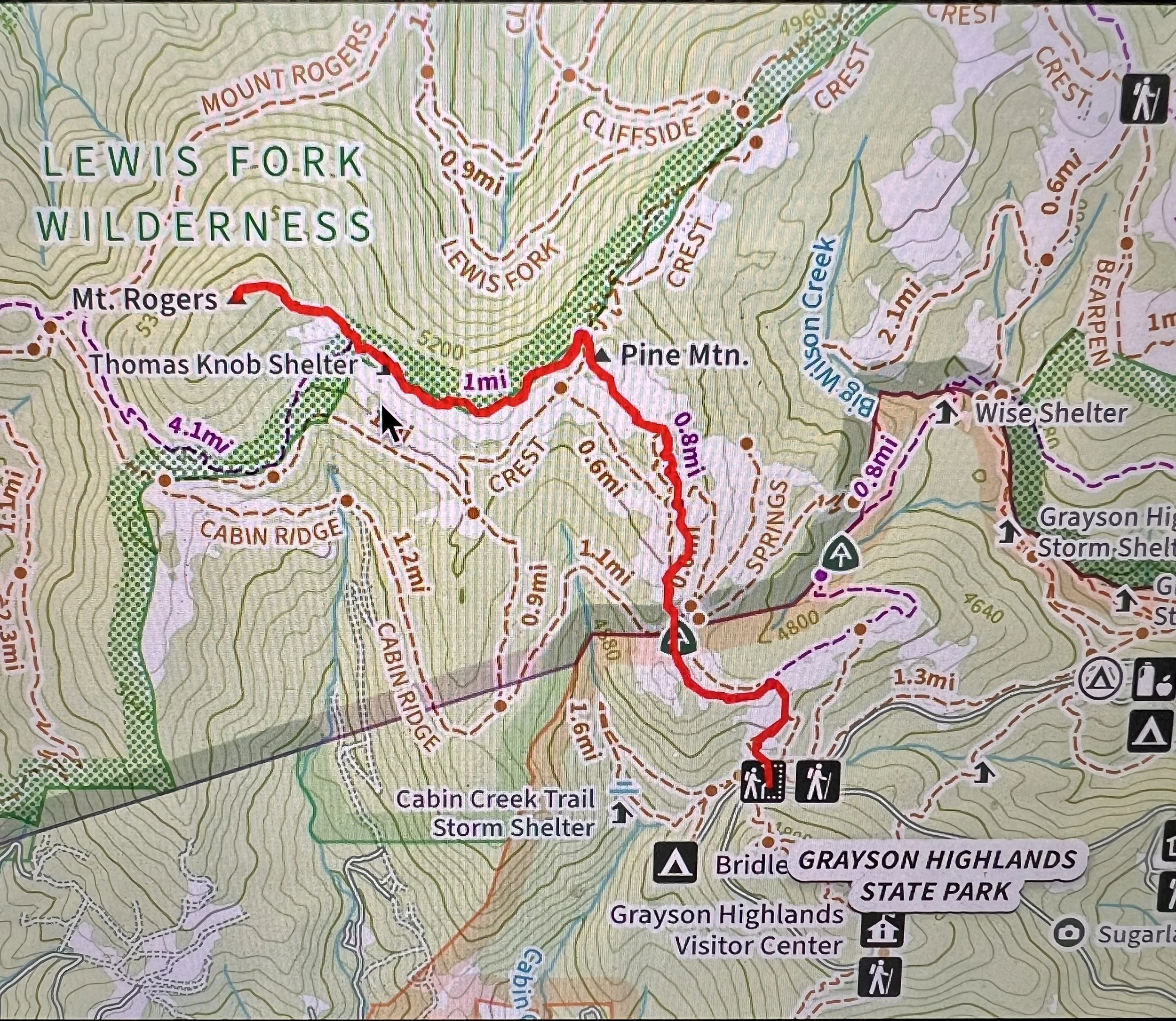
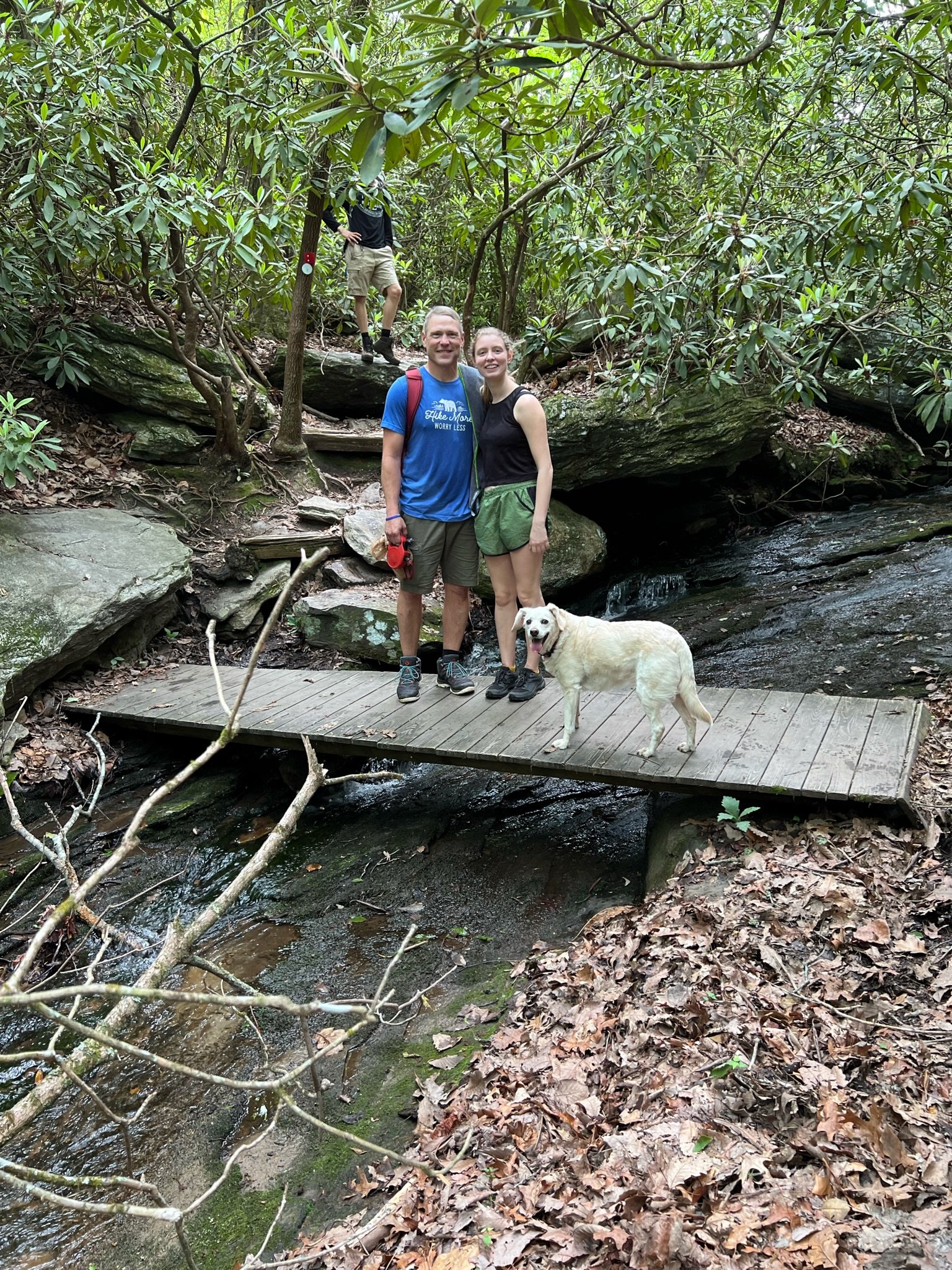
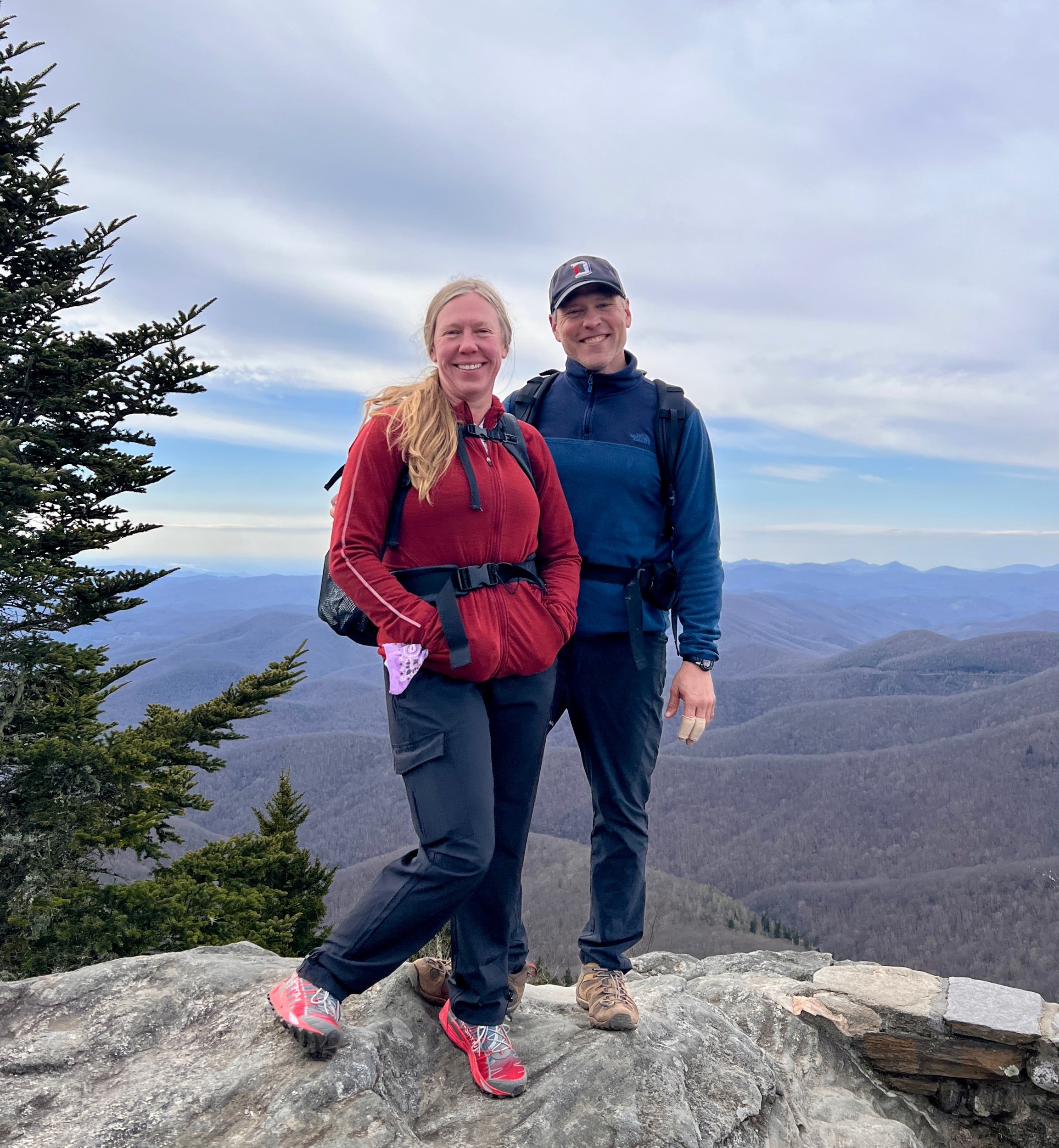
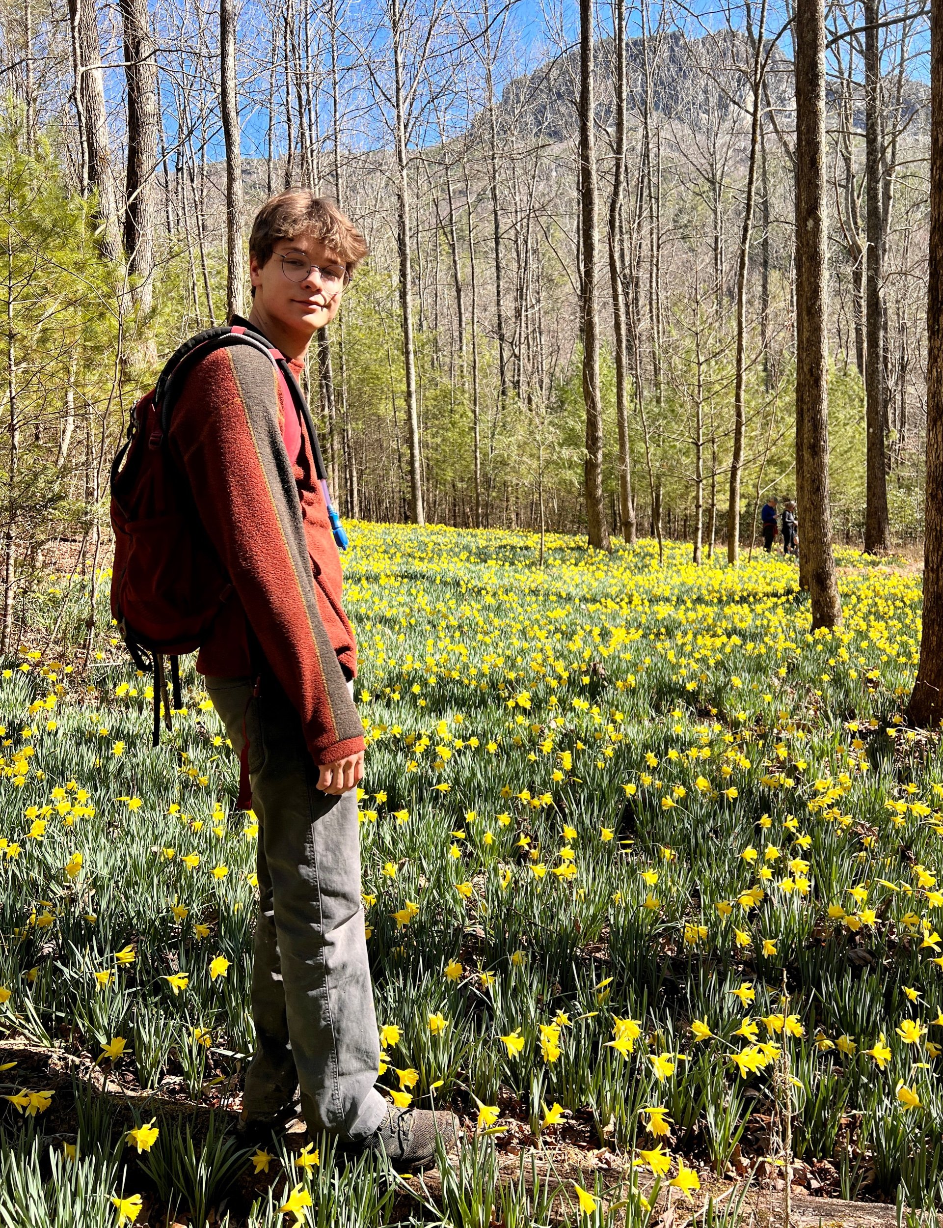
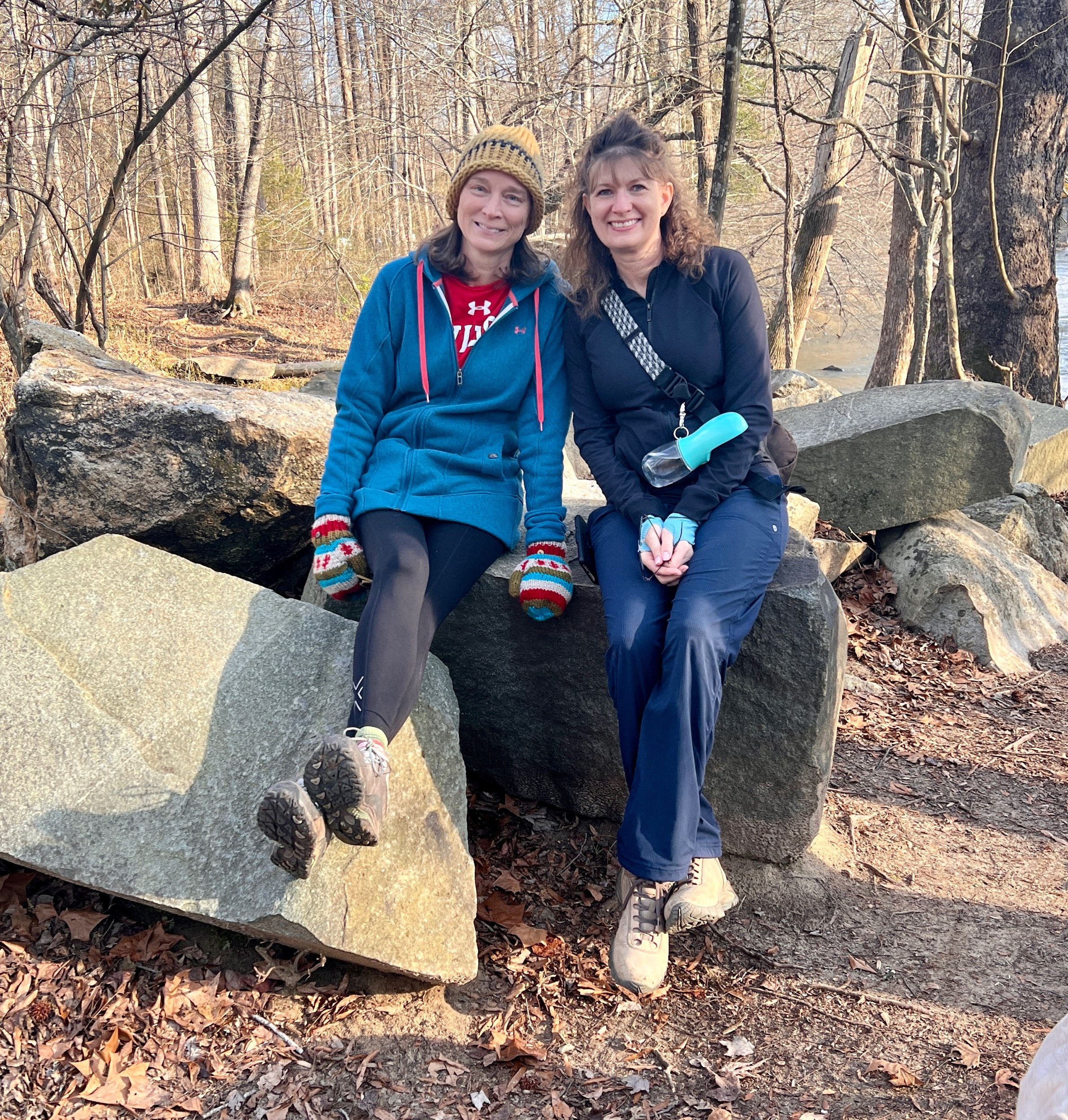
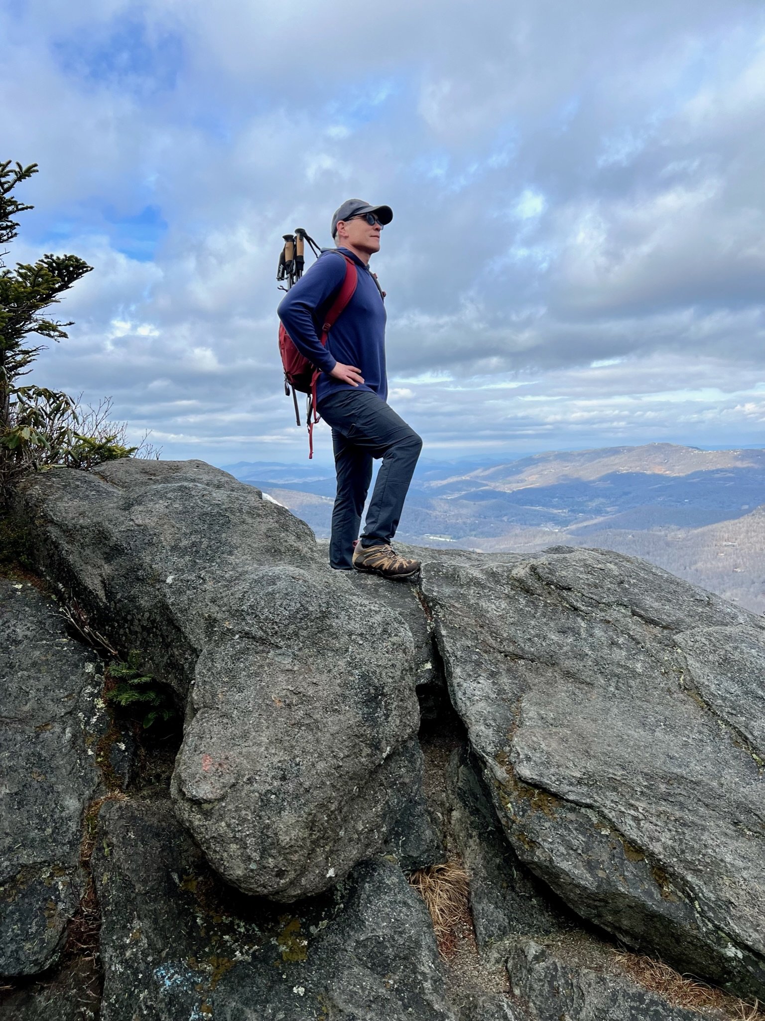
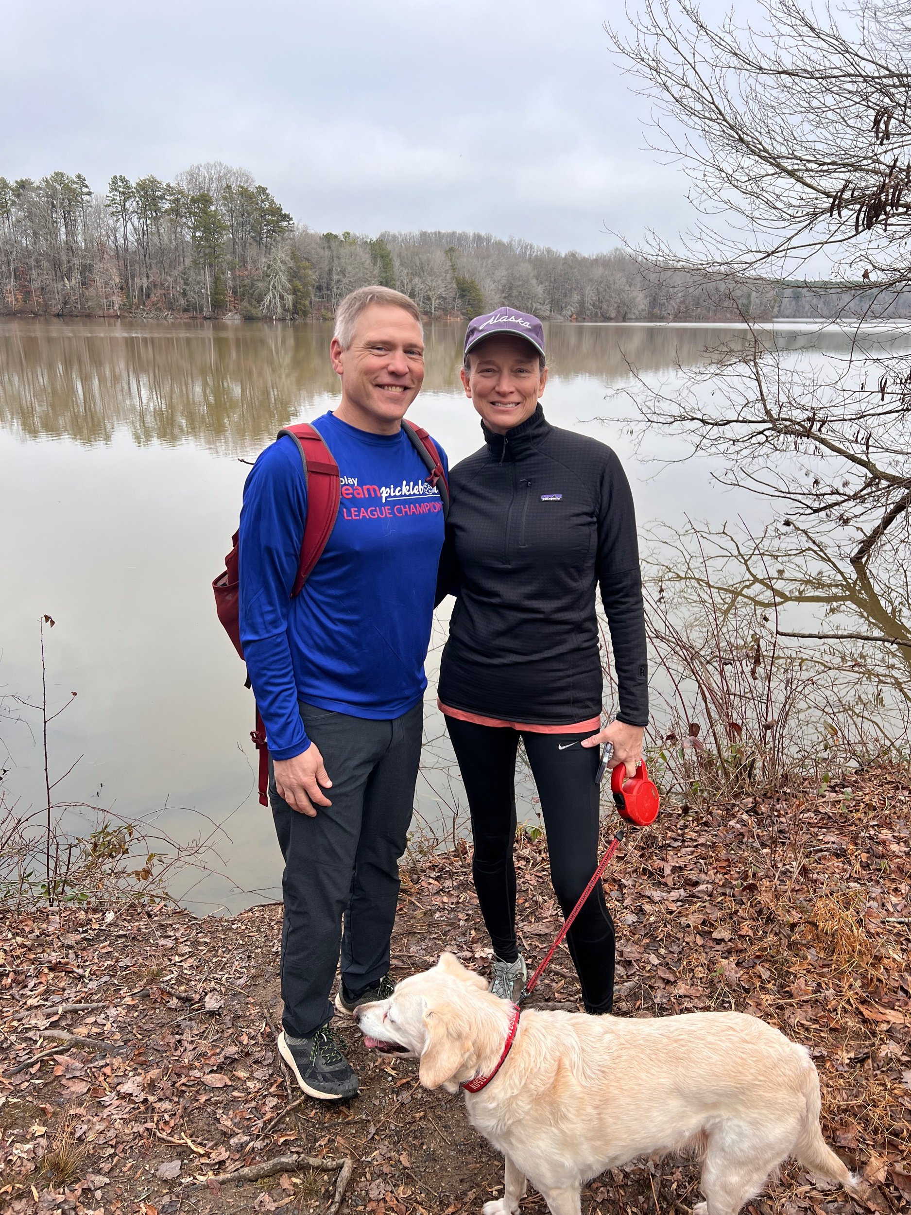
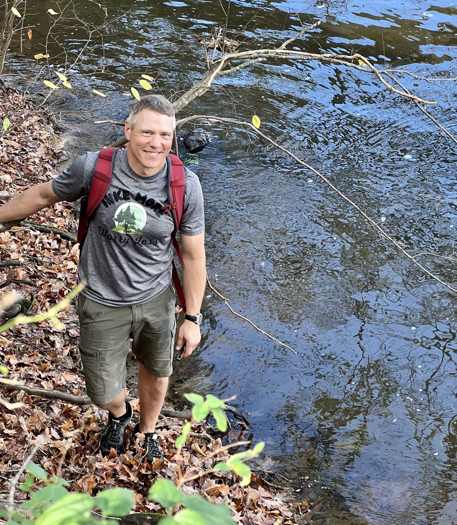
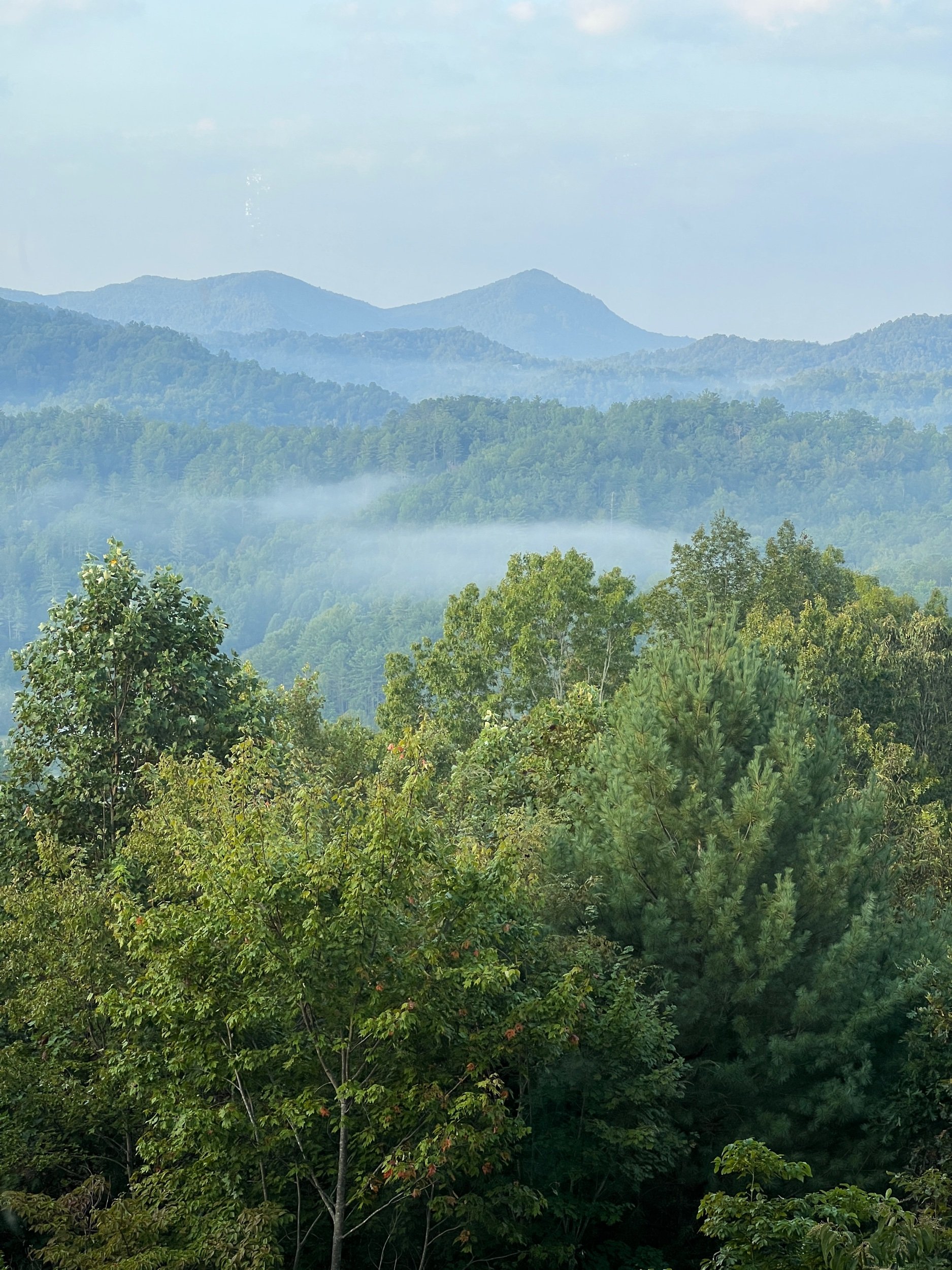
On a sunny and crisp Saturday morning, Ginger and I hiked nine moderate to strenuous miles on a combination of trails at the beautiful and very diverse Grayson Highlands State Park in southwest Virginia near the Mouth of Wilson. Hiking to the summit of Mt. Rogers, the highest peak in the state of Virginia, has been on my to-do list for some time and Grayson Highlands State Park has long been known for providing the best portal to the state’s highest peak.
Interestingly, Mt. Rogers is also the highest eastern state highpoint which does not have any roads or pavement leading to its summit and, therefore, can only be reached by hiking to it. And fortunately, the route to the summit is generally regarded to be one of the best hikes in the Eastern United States and in all of Virginia.


Grayson Highlands State Park -
Spread over a pocket of the Appalachian high country in the Blue Ridge Mountains, Virginia’s Grayson Highlands State Park is 4502 aces of heaven on earth. The lofty and diverse landscape is adorned by airy mountain meadows, grassy and rocky balds, gushing trout streams, abundant rhododendron, and spruce-fir-filled forests, as well as a conglomeration of high peaks, including Mt. Rogers and Pine Mountain, the highest and third highest peaks in Virginia respectively.
Perhaps best of all, however, is the more than 120 wild ponies that roam Grayson Highlands and the neighboring Mount Rogers National Recreation Area.


Wild, Wild, Horses (Ponies) -
One of the Park’s highlights is the band of ponies roving the highlands—including a famous, flaxen-maned stallion named Fabio, renowned for his salon-quality locks. Unfortunately, we did not encounter Fabio on our visit.
The origin of the equines is somewhat mysterious, but one story suggests the ponies were bred by locals to survive the fickle Appalachian high country with minimal human interference. Inside the park, the herd was introduced by the US Forest Service in 1974 to provide a natural landscaping service for the highland balds, which were first cleared by loggers at the end of the 19th century and then later grazed by cattle throughout the first half of the 20th century.


Spill The Tea -
Our hike started at the trailhead just north of the Massie Gap parking area and after going through a gate, we almost instantly spotted several wild ponies. The ponies are obviously very accustomed to people, with one even immediately trotting up to me. For safety reasons, feeding and petting the ponies is not recommended, yet this one in particular it seemed, was begging to be petted. After admiring the ponies and taking several photos, we continued our climb on the Rhododendron Trail before connecting to the Appalachian Trail (AT).
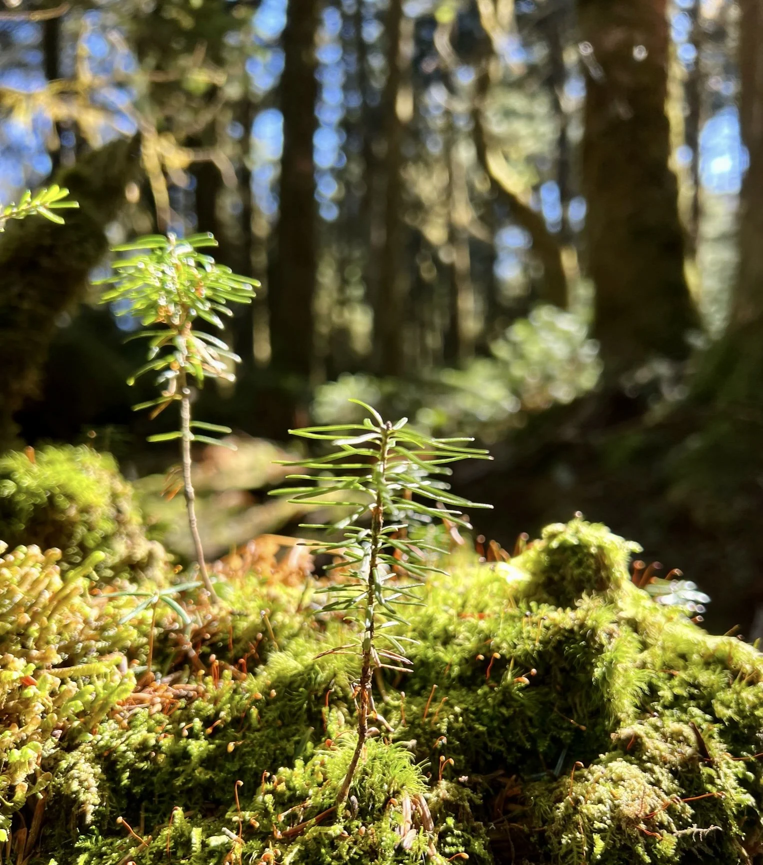
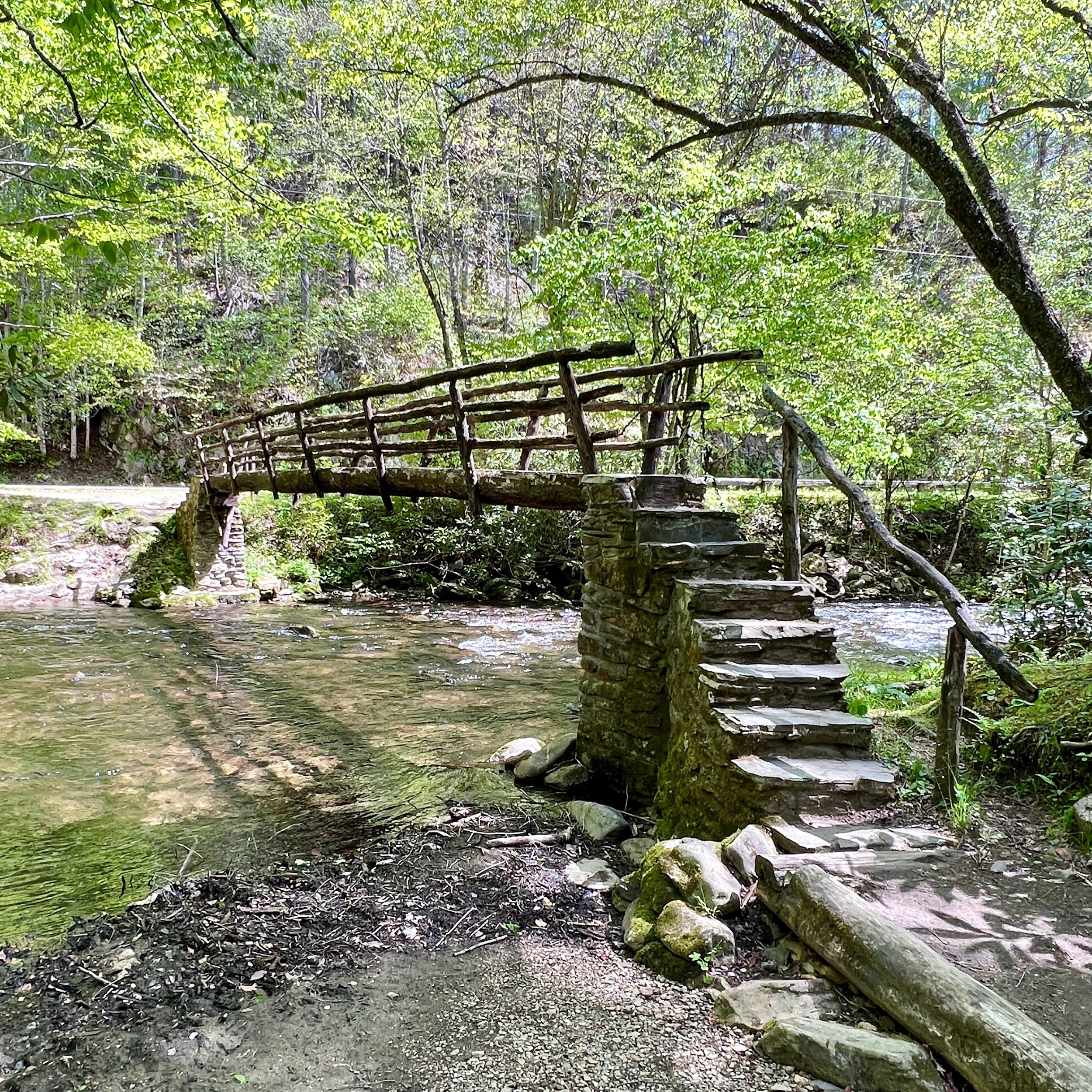
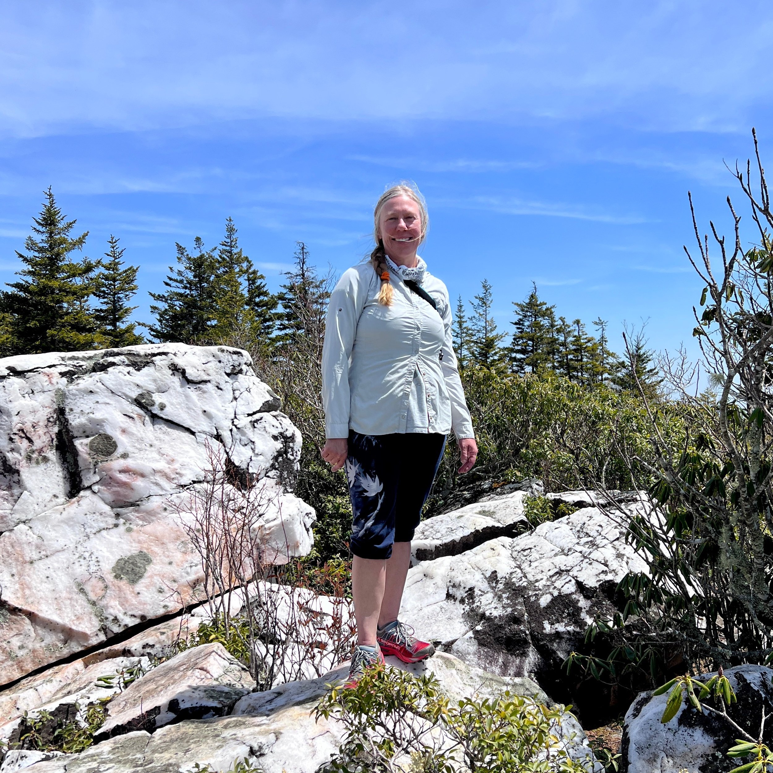
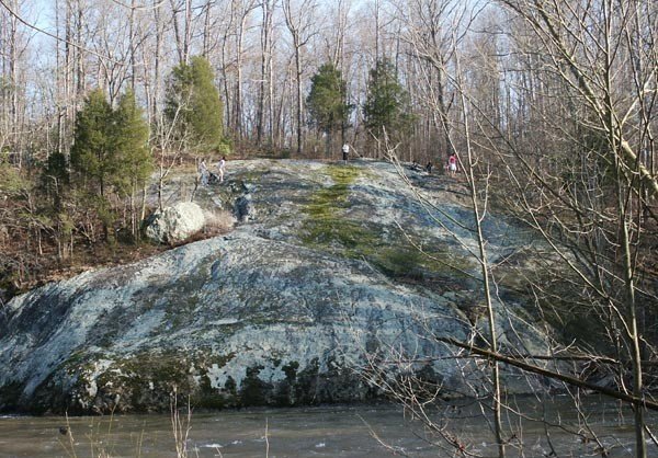
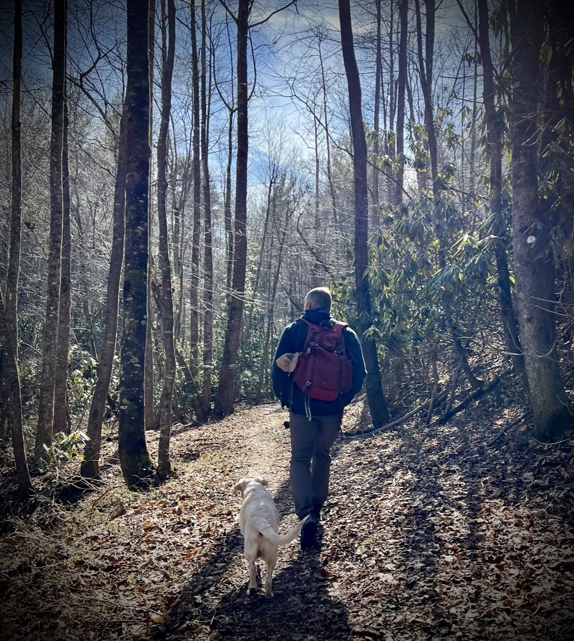
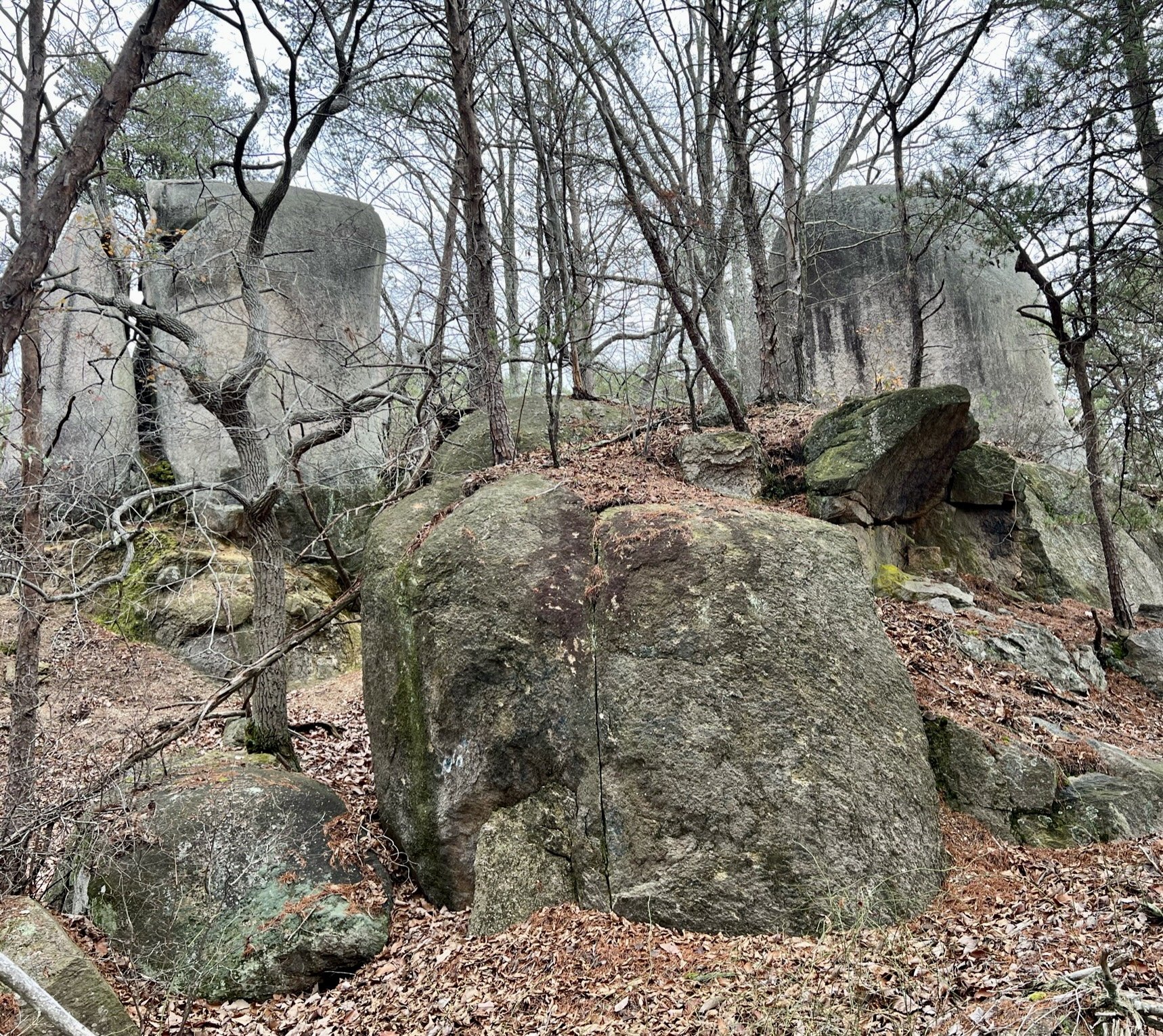
We followed the rocky, steep, and uneven AT for several miles before stopping for a snack at the Thomas Knob AT shelter. Along the way to the shelter, we traversed multiple rock scrambles, large boulders, stone caves, and numerous expansive balds with stunning views of the surrounding Blue Ridge Mountains. We then took the Mount Rogers Summit Extention Trail for the last half mile to the top. Note that the summit itself is like very few others, with absolutely no view due to the dense groves of Spruce-fir trees, normally only found in the Pacific Northwest. It reminded me of a forest scene from the movie, The Hobbit, with moss growing on every wooded and rock surface, abundant lush ferns, and damp trails with exposed root structures. Truly magical.
After spending some time at the summit, we retraced our path back to the AT and continued down the way we came, revisiting all of the wonderful features of our ascent from a new perspective.


Wrap It Up -
If you are looking for a diverse hike with many unique features and items of special interest, give the hike to the summit of Mt. Rogers at the Grayson Highlands State Park a try. Come dressed in layers and with a map, as the hike is mostly exposed and the cold wind at times seemed to penetrate our bones, and the trail markers are not the easiest to navigate. Yet you are not only guaranteed to have a wonderful time, but you also will definitely see many spectacular views and some ponies, perhaps even Fabio, all the while having the chance to be the highest person in all of Virginia!
Magic Mushroom Ride